Silver Falls Buck Mountain Mudslinger Trail Run
20024 Silver Falls Hwy SE - Silverton, OR
Online - -
Day of Race - -
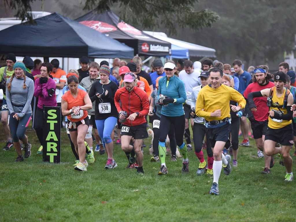
Info: Toss on them Cowboy Hats and button up those Wrangler cut-off shorts, cuz' we're gett'n BUCK WILD at the Silver Falls Buck Mountain Mudslinger Trail Run! Come join us for the 14th annual event at Oregon's Largest State Park! Great post race party with our usual after race goodies including Refreshments, Beer Garden, Food, Hot Coffee, Prizes, Music and Awards! Cowboy and Cowgirl best dressed western theme contest with prizes!
Camping and lodging at the park - CLICK HERE - or camp out with us at the start/finish area the night before. Refreshments/snacks/firepit and music.
Directions: From South Salem I-5 take Hwy 22 east 5 miles and turn on Hwy 214 Silver Falls Hwy. Follow Hwy 214 for 16 miles to park entrance.
From Portland go south I-5 to Woodburn Exit #271 and follow signs to Hwy 214 into Silverton. From North Salem head east on Silverton Rd. NE/Hwy 213 into Silverton. Map
Then From Silverton head out South Water St./Hwy 214 , for 16 miles to "Silver Falls Howard Creek Equestrian" park entrance on the left and look for "Event" signs! Proceed past fee booth and go left to event area. "Day use and parking fee included in entry" Carpooling and use of an all wheel drive vehicle is strongly encouraged due to the possibility of snow and ice on the road!
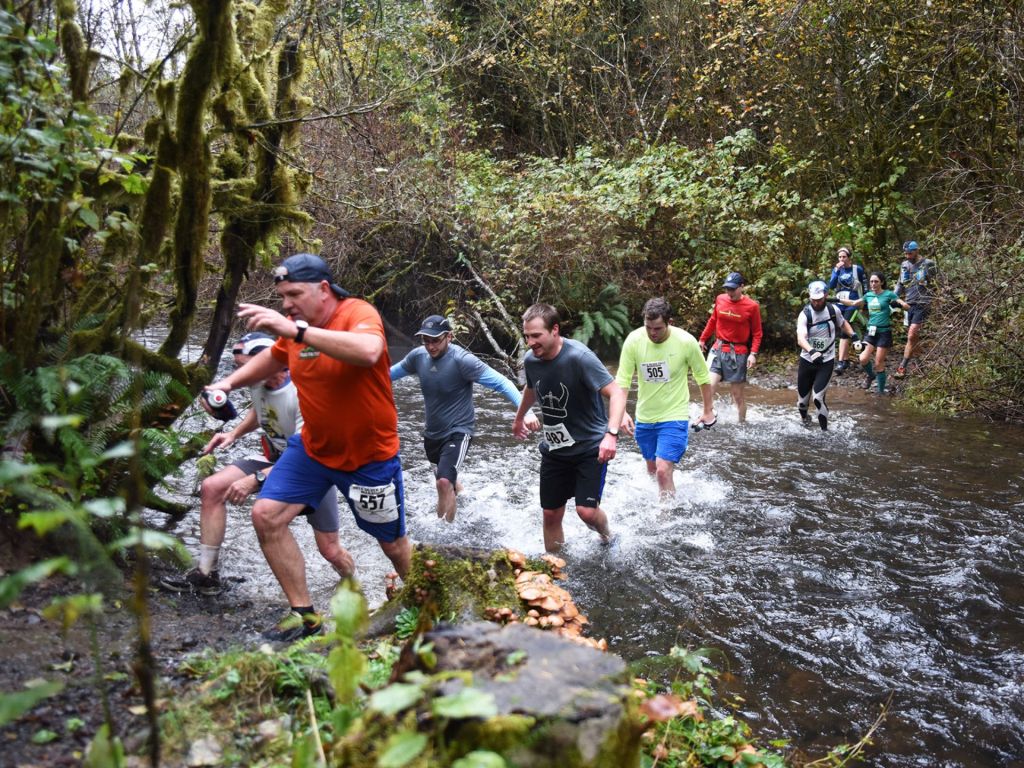
Course Description: Very scenic single and double track trails around the Silver Falls Howard Creek Horse area, 6.6 mile loop course on Buck Mt. Loop and Smith Creek trails with elevation gain and loss. Expect muddy conditions and possible snow as well! You may be a filthy mess after this event! Course will be well marked. Pets are welcome.
Awards/Prizes: Awards for the Top 3 overall Male/Female Finishers and top 3 in each age group! Age groups are 14 and under, 15-19, 20-24, 25-29, 30-34, 35-39, 40-44, 45-49, 50-54, 55-59, 60-64, 65-69 and 70+. Western theme and awards for "BEST DRESSED UP COWBOY/COWGIRL PARTICIPANTS!"
Random prizes will be given away from our sponsors.
Course Maps:
Course Map
Elevation Chart


